Author:
Nickolas Marino
Co-Authors:
Robert Jacob
Institution:
Bucknell University
Abstract
One of the most crucial processes that occurs in the environment is the movement of groundwater and surface water from high elevation to low elevation. This process would not be possible without rivers like the Susquehanna River, draining both ground water and surface water from the central- western areas of Pennsylvania into the Chesapeake Bay. With this being said, it is very important that we understand the processes by which rivers gain or lose water, in order to better understand the watershed as a whole. One of the best ways to better our knowledge of a river is by understanding how they gain or lose water. Finding areas of surface water discharge into river is fairly straight forward but identifying areas where groundwater discharges into the river is much more difficult. Recent technological advances have allowed for the use of thermal drone imaging to detect sites of ground water discharge into rivers by detecting differences in temperature signature within the river. This method works for giving us a better idea of where groundwater discharges, but the cameras ability to see changes in heat signature, as well as quality of the thermal image typically set an obstacle since these zones of discharge are mostly small and the thermal imaging doesn’t have high enough resolution to be able to see small regions of discharge.
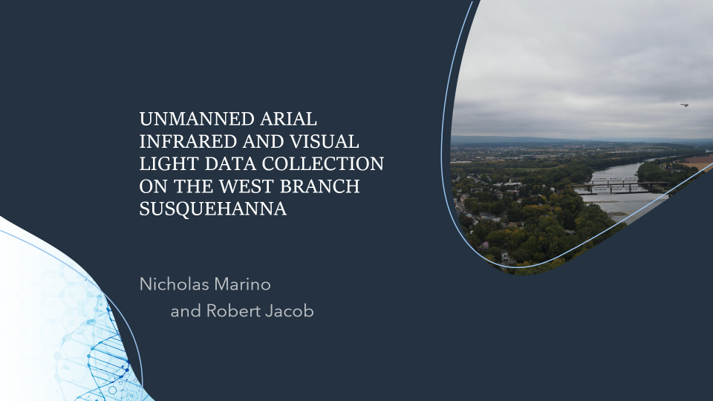
We have collected airborne thermal data using a drone (Ebee) along a 2230-meter stretch of the West Branch Susquehanna River adjacent to Bucknell University. 2830 photos were acquired as both visible light images and thermal images over an area of 1.59 km2 for an estimated 2.6 cm/pixel visible light resolution and 15 cm/pixel thermal resolution. The images are being processed and analyzed to evaluate drone infrared imaging and its ability to detect changes in heat signature in the river. The stretch of the river investigated includes definitive surface water tributaries into the river and sections with no tributaries. Given that the locations where surface water discharge enters the river is known, it is possible to use this information to detect other temperature changes within the river in order to find areas where ground water may be discharging into the river. This could help us pinpoint where groundwater discharge may be occurring, and then in the future, it would be possible to carry out geophysical testing of sediment and rock permeability and therefore develop an accurate understanding of where permeable areas reside near the Susquehanna River The initial evaluation of the data indicates that there are significant changes in the temperature of earth’s surface related to buildings, as well as subtle changes within the river. We expect to present available results and interpretations based on the available processed data and relative potential contribution of surface water temperature changes in ground water.
